We’ve prepared a downloadable guide (PDF, 1MB) containing all the information you’ll need to prepare for the SLMM and get yourself to the starting line. Here is the 2025 Guide – it’s quite long so we suggest you read it online rather than print it. It does have some useful printable checklists though.
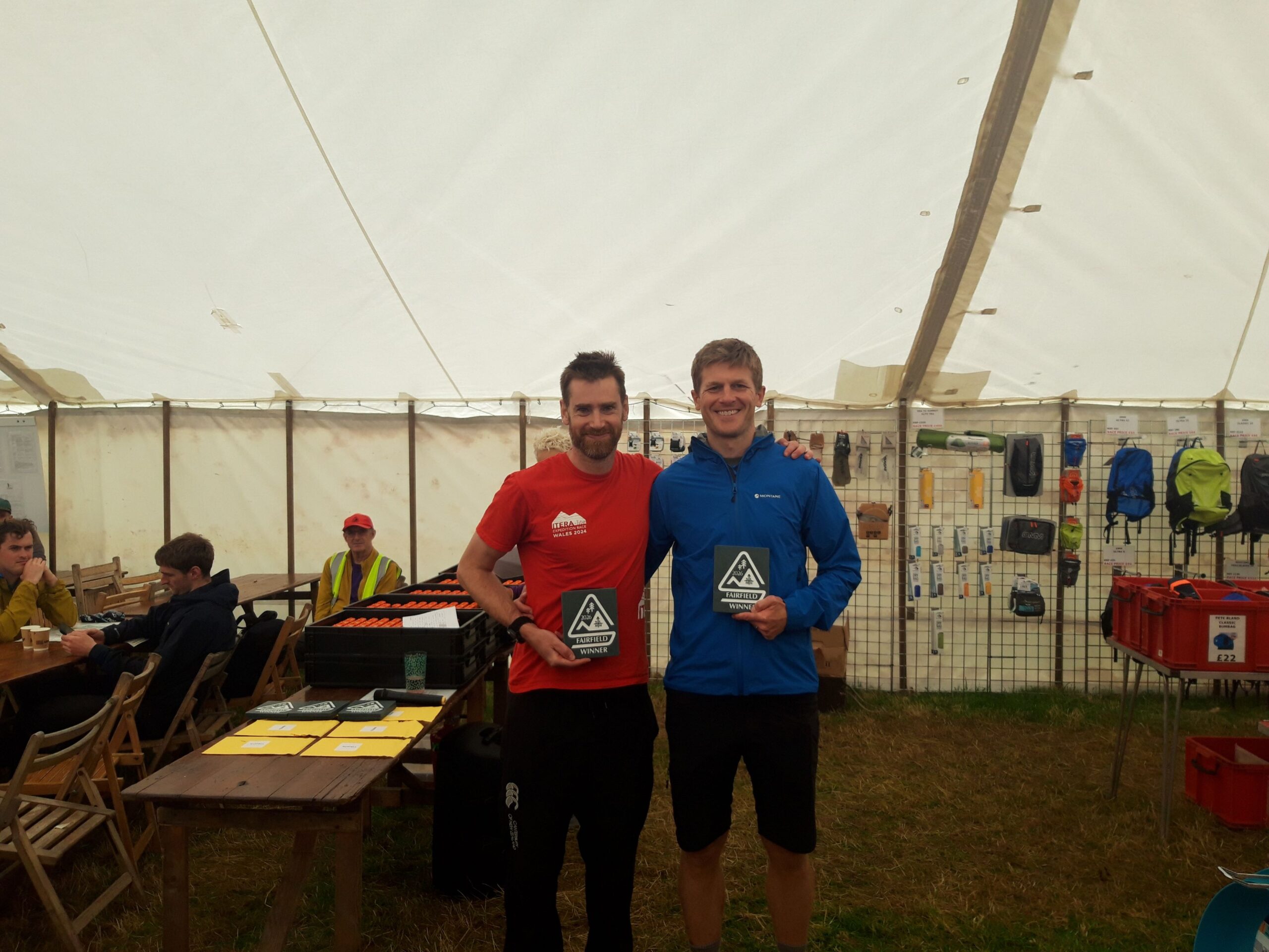
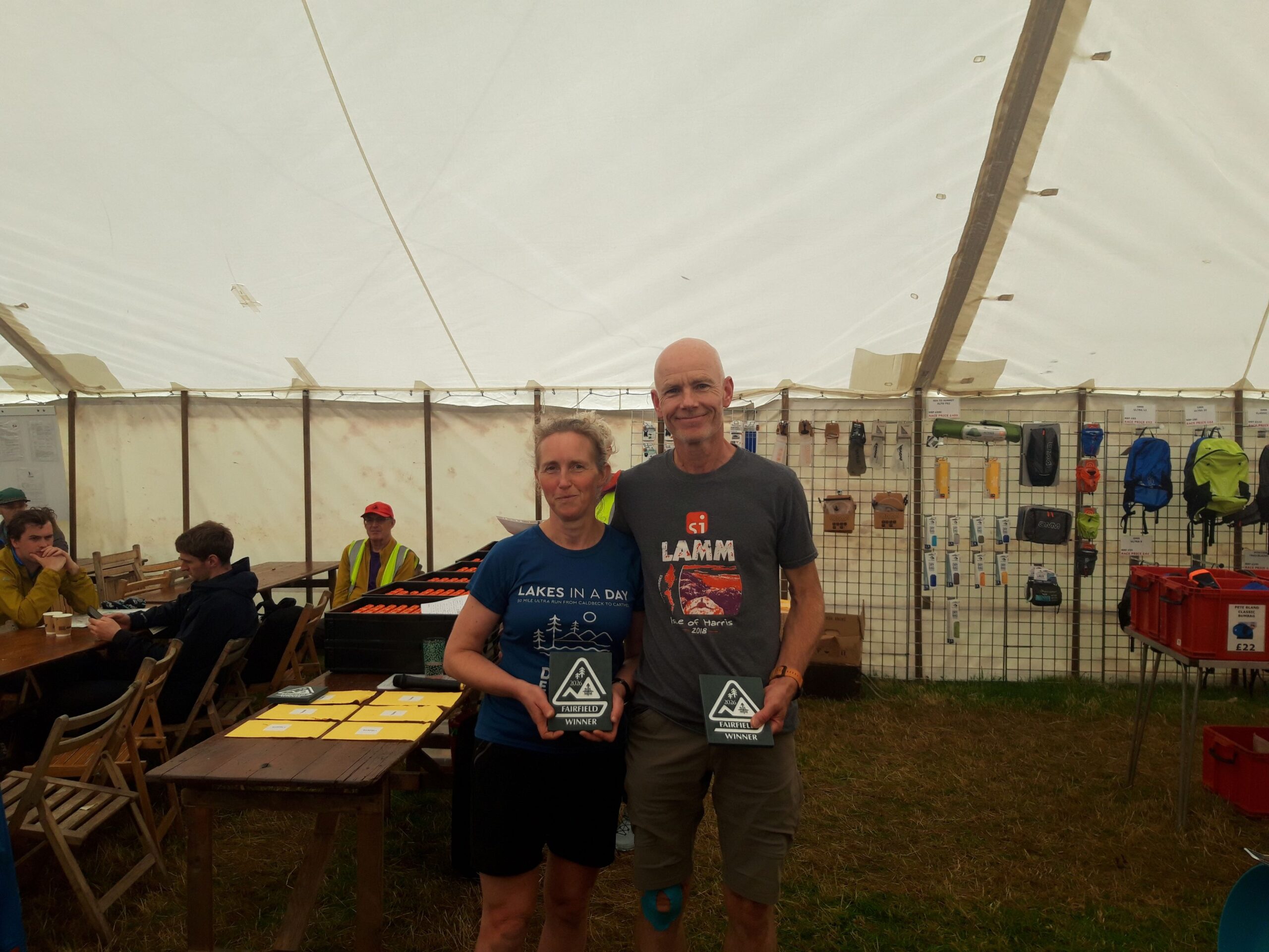
SLMM has four category prizes for each course: Female, Male, Mixed and Veteran. The Veteran category uses a handicap to compare teams across different ages and genders (and Bedafell has its own separate handicap system for junior teams, which is unchanged and not covered here). The alternative approach for vets would be to split the prize into multiple age bands (eg FV50, MV65, etc), but with seven courses and a field of our size, that would produce too many sparse or empty categories to be meaningful.
A single handicap factor across the whole vets category solves this. Teams are still treated fairly relative to each other regardless of age and gender, and the prize structure stays simple.
The handicap system was introduced at the 2018 SLMM and has worked broadly well since. But feedback from competitors and a review of nine years of results have pointed to three things that needed fixing. An updated handicap formula will apply from this year’s event in July 2026.
What’s changing, and why
The old rule ignored the age of the second partner. It used only the older partner’s age, so a team of 60 and 45 was given the same handicap as a team of 60 and 60. That doesn’t reflect how mountain marathon teams actually work — the younger partner contributes navigation, route choice and pulling work, and their age genuinely matters. The new rule incorporates the age of both partners.
The addition of 10 years to the age of women was an approximation. It worked reasonably well in practice, but it was a single rough adjustment doing two jobs at once — accounting for both the physical strength gender gap on rough terrain and the slightly steeper female age decline. With the World Masters Athletics (WMA) tables now readily available, we can separate these out and use proper gender-specific figures rather than an approximation. Women’s age decline is read directly from the female WMA table, and a separate adjustment accounts for the additional disadvantage women face on fell terrain.
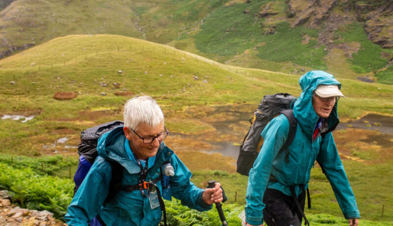
Eligibility now starts at 40, in line with FRA categories. Veterans under FRA convention are 40 and over, but our old rule only handicapped teams where both partners were 45+. Teams in their early 40s couldn’t compete for the vets prize at all, even though physical decline is measurable from age 40. From 2026, both partners need to be 40 or over – matching how veteran categories are defined across UK fell running.
What the new handicap is doing, in plain English
The handicap reflects each runner’s age, with an additional adjustment for women to account for the greater physical disadvantage on rough fell terrain. The two partners’ factors are blended, with more weight given to the runner with the higher handicap. The resulting adjustment is then reduced by 20% to recognise that SLMM rewards judgement and teamwork as well as fitness.
The maths is built on the WMA age-grading tables — the international standard used by top international masters athletics events as well as parkrun and similar systems. So your handicap is calibrated against real-world running performance, not a flat rule of thumb.
What you do as a competitor
Nothing. Your handicap factor will be calculated automatically from your team’s ages and genders and published alongside your team name on SI Entries. On linear courses, your raw time is multiplied by the handicap factor. On Fairfield, your raw score is divided by the handicap factor.
We have built a simple calculator so you can enter your own ages and genders and see your team’s factor before entering, or check how a different partner pairing would change it. The calculator is available here
What stays the same
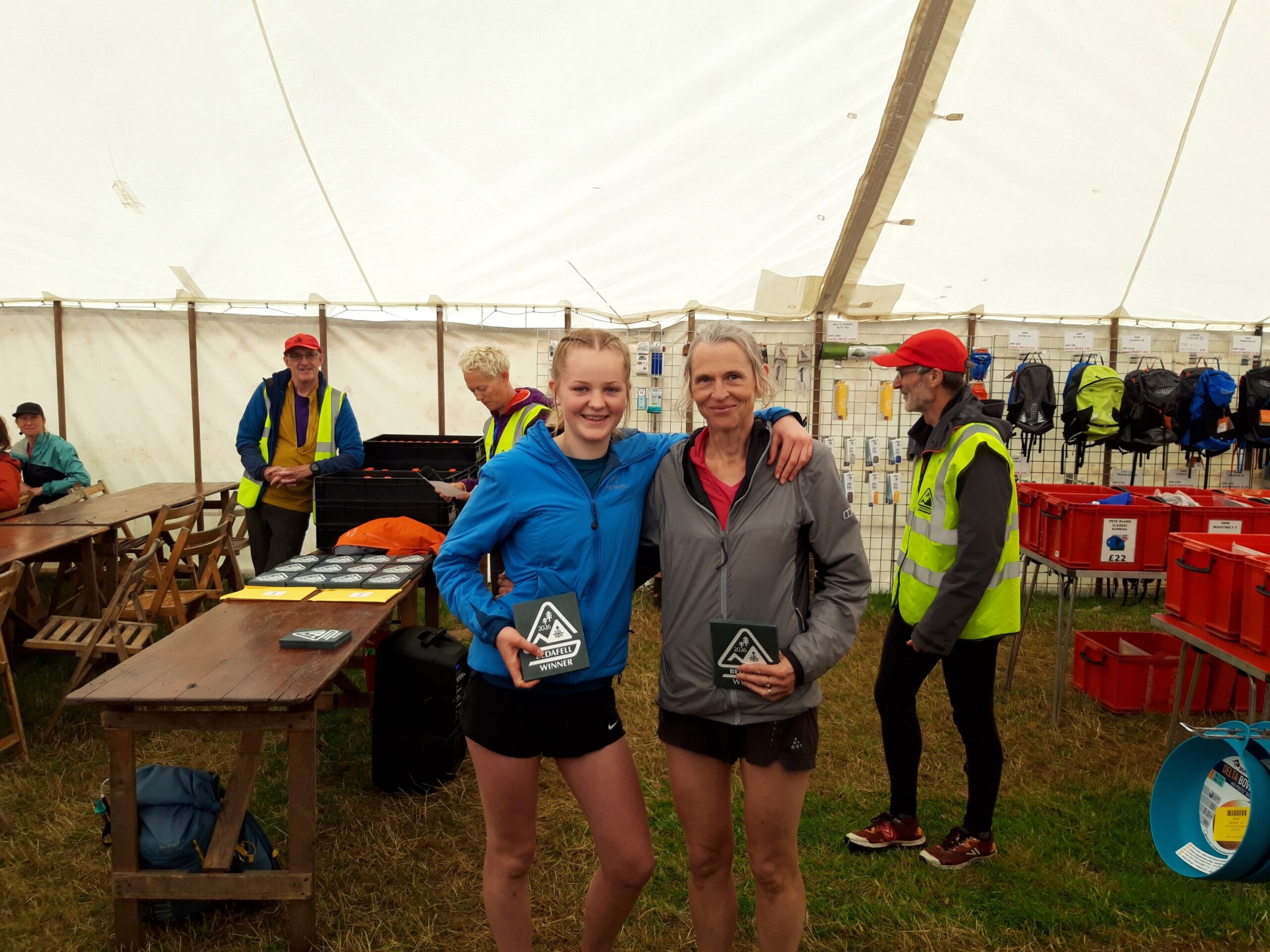
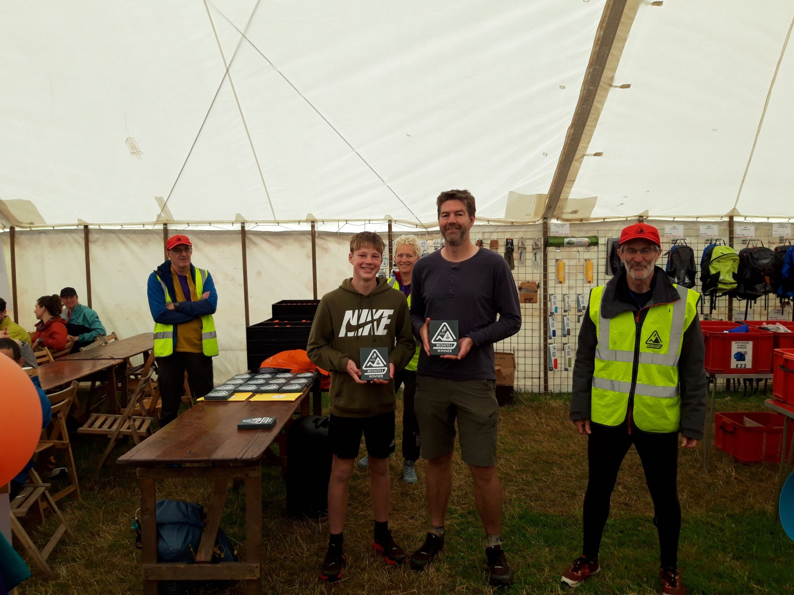
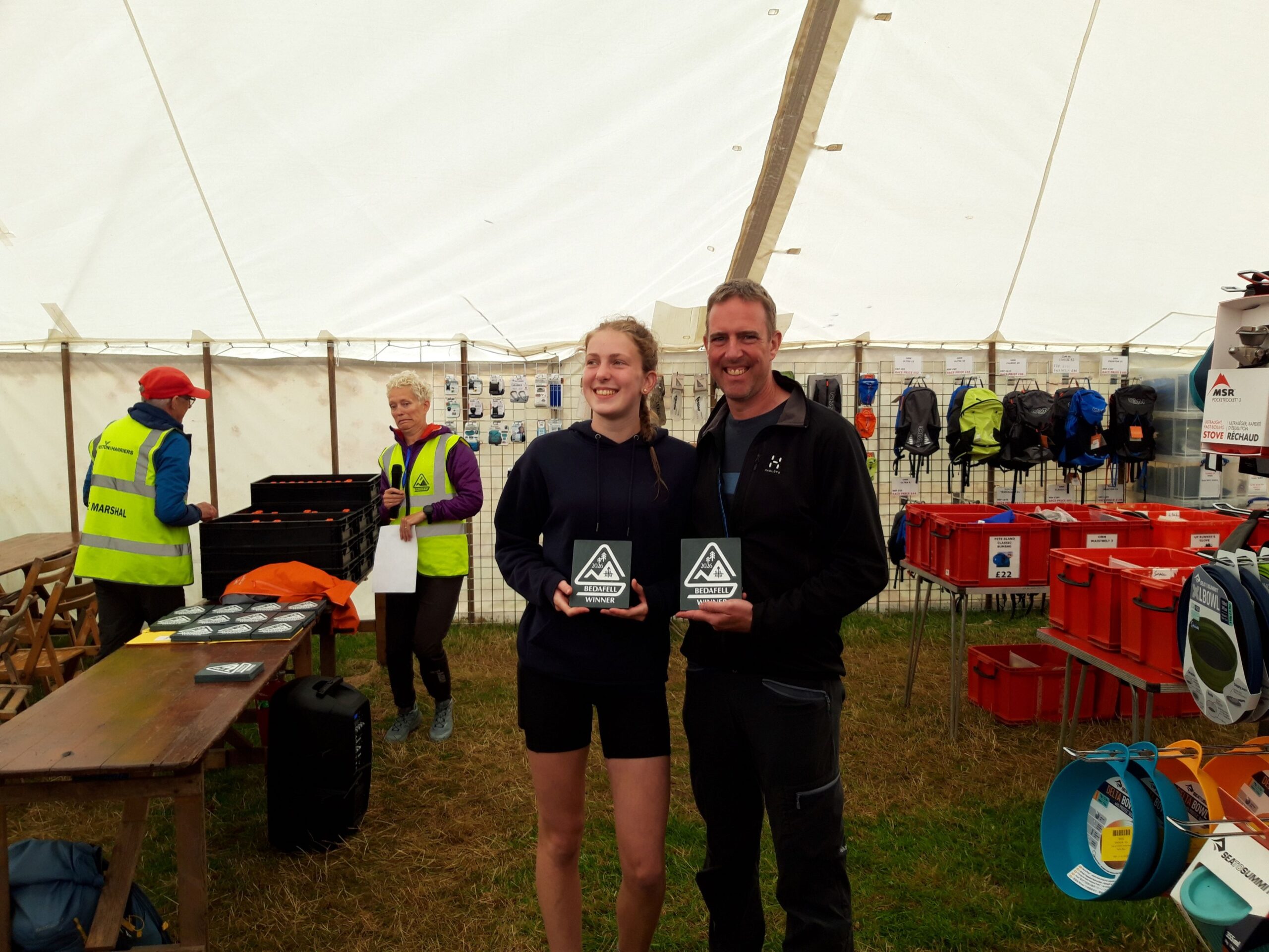
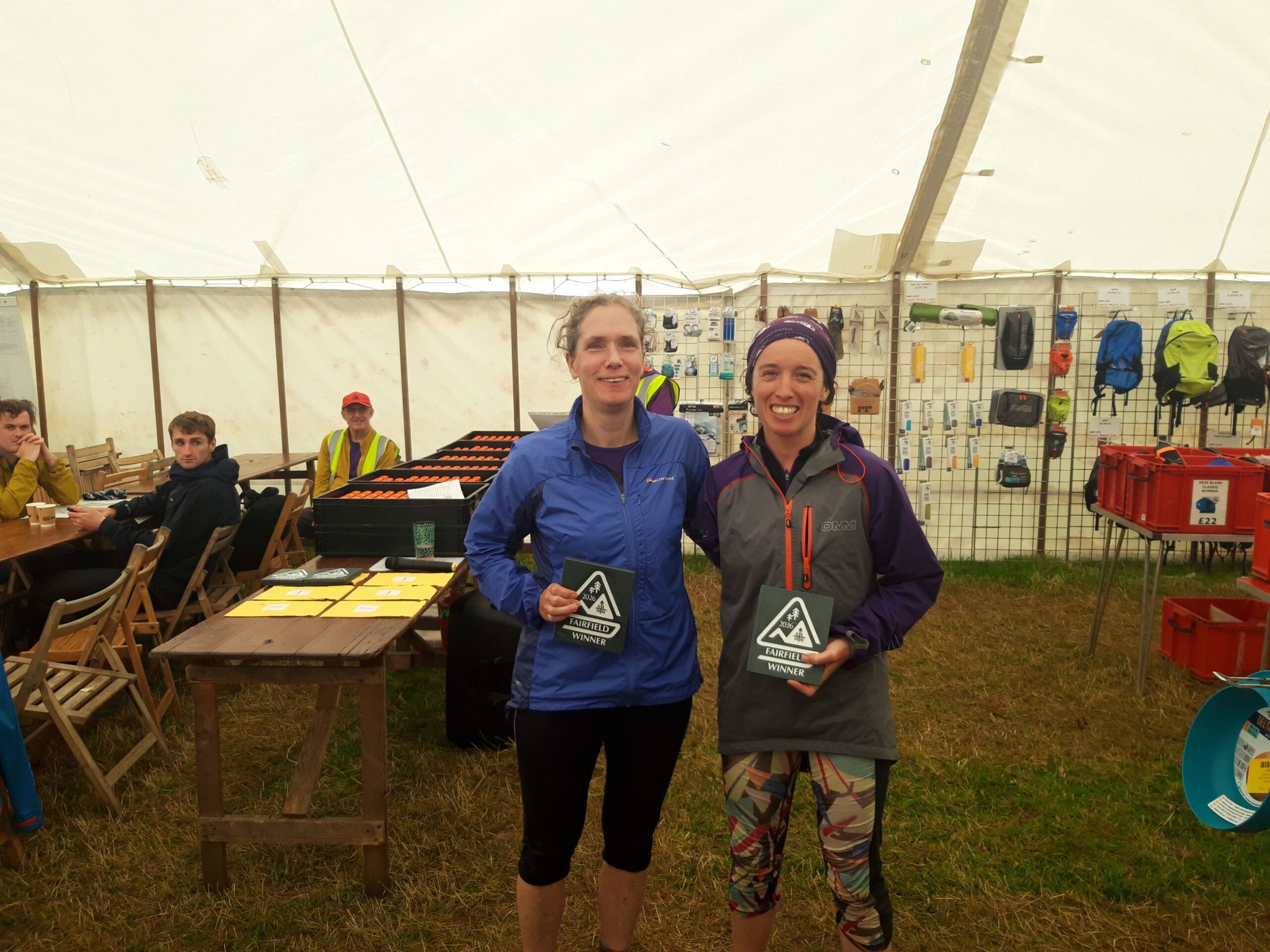
The four-category prize structure (Female, Male, Mixed, Veteran), the high quality slate trophies cut from local Honister slate, the same 54 prizes across our seven courses. The Bedafell course has no vets prize — it runs on its own separate junior handicap system, which is unchanged.
In the SLMM you may need to use map grid references for a couple of purposes:
The control sheets provided at the start include the 6-figure grid references of the controls on your course and you use these to mark which of the pre-printed control circles on your map you need to visit.
If you get into difficulties and need to call for help you will need to communicate your location and a grid reference may be the best way to do this.
Harvey and OS maps both use a grid system to help you pinpoint exact locations. Here’s how to use it:
4-figure grid references
Maps are covered in a series of 1 kilometre by 1 kilometregrid squares, each with a 4-digit reference, for example 2453. The first 2 digits are called the ‘eastings’, the vertical lines numbered along the bottom and top of the map and the last 2 digits are the ‘northings’, the horizontal lines numbered along the left and right sides of the map. So the 4-figure grid reference 2453 indicates the 1×1 kilometre square whose bottom left hand corner is the intersection of the 24 easting and the 53 northing.
6-figure grid references
To provide a more accurate location within a 1×1 kilometre grid square we mentally divide both the eastings and northings into tenths and provide another two digits to represent these. So the point marked below in the 2453 grid square can be given a 6-figure grid reference of 243531.
Note that the 6-figure grid reference is actually the bottom left hand corner of an imaginary 100mx100m square containing the feature of interest. So although the 6-figure reference is accurate enough for mountain marathon navigation purposes, it is actually only accurate to within 100m in each direction.
Note that many compasses provide a ‘roamer scale’ that can help you to estimate the tenths needed for a 6-figure reference. There may be several roamer scales for different map scales and you must use the correct one! The SLMM maps are 1:25000.
We’ve produced a couple of guidance notes for teams new to mountain marathons.
The first of these provides some practice in choosing routes between controls. Sometimes these are obvious but sometimes there are several alternatives that can be considered. The document allows you to use previous SLMM courses as examples and view the actual routes taken by winning teams.
The second document provides advice on nutrition during the event, including food and drink during the day and for camp meals. It may help you to keep your calorie to weight ratio high but still have enjoyable food and snacks.
There were some fantastic competitor stories submitted as part of our post-event survey. It was difficult to choose five winners but here are the ones that receive a £60 voucher for Pete Bland’s. If you’d like to read all the stories, they are collected here together in this PDF document.
Three months ago my husband died suddenly at the age of 58 having suffered with Parkinson’s disease for many years. Due to his illness, over recent months the amount of walking I’d been doing was limited. My brother (who with his family has done SLMM many times) suggested I partner him this year. I took a while to be persuaded! I am not a runner but have done a lot of walking in the Lakes over the years so the Fairfield course seemed the most appropriate category. Having the SLMM to prepare for encouraged me to get out walking as much as possible – great for my fitness and also my mental health. The event itself was hard but much of the time genuinely enjoyable. My brother encouraged, cajoled and bribed me (with Percy Pigs!) up and down the fells, the scenery was glorious and the sense of achievement on completing both days within the allocated time and walking 25 miles and 6000 ft of climbing was brilliant – I actually cried a few tears as we crossed the finishing line! And we didn’t come last either!!
As first timers at a mountain marathon, we arrived bright eyed and bushy tailed. Expectations were high, morale higher. One thing which we were particularly pleased about was our kit, neatly packed into tiny bags we scoffed at the Pete bland van as we walked into registration. We could never be the kind of people who left kit or the last minute. Several hours and many miles later we stood at the top of an astonishingly steep, bracken covered final descent towards the campsite. The air turned purple. One member of the team, who will remain nameless, had managed to bring shoes that were too small, too tight, too uncomfortable. A frank discussion followed. There could be no contouring round, no climbing back up towards a path, no zig zag down and absolutely no direct descent. We had arrived at a stalemate. Had we been alone on the hills on Saturday we may still be up there arguing about how to reach that final point. Our salvation came in an unexpected form, a rustle of bracken, a flash of bald heads, a murmur of how do and whoosh. Two men flew past on, bouncing along on their backsides. We knew instantly what had to be done. We too crashed onto our rears and bowled down the hill towards a hard earned rest and a delicious Wainwright. We’ll be back!
I just love this event as a way of pushing myself way beyond my comfort zone. This was my second year of doing the Saunders. Both me and my running partner are in our 60’s and grandmothers! I had a good day on Saturday and felt strong, but on Sunday about half way round I went through a really bad patch and found putting one foot in front of the other so hard. My partner was great, she encouraged me to eat and drink more, slowed the pace and didn’t let me give up. I pulled through! A big part of the Saunders for me is working as a team, helping each other through the hard times and enjoying the good times – reaching the overnight camp, getting the tent up, chatting with old friends and getting to the finish with a smile on our faces! Seeing so many competitors of all ages out there is was a totally inspiring experience, particularly seeing so many young people running around the fells with their parents! I just hope that when my grandson reaches the age that he can join in that I am still active enough to do the Saunders with him!
I have done The Saunders with my adult child every possible year since 2018 (excepting covid lockdowns and me having covid last year). It is a highlight of our year. My child has mild cerebral palsy and mental health problems and spends much of the rest of their time in their bedroom. We come each time hoping we can make it to the overnight camp. On our first attempt we had to camp in the hills, beautiful sunset to enjoy after making sure I’d got the message through to the organisers. This was the first year we could enter the Fairfield course and we were delighted to make the campsite and get some points. I’m not sure this story will inspire others as we are approaching the challenge from a rather different direction from other people but we both push ourselves to walk our modest distance and feel huge satisfaction and a sense of achievement each time. At the end of each day we enjoy meeting up with friends and discussing route choices, weather and kit whilst feeling pleasantly exhausted from fresh air and effort. The Saunders is one of the handful of things my child can feel positive about in their life.
My husband, Nigel, and I ran the Fairfield course together this year. We’ve been married for 25 years and, although we’ve both run lots of mountain marathons in the past, we’d never done one together. But this year, when none of our usual partners were available, we were left with no other option! (The other option would have been not to do it, which was not an option – all of our three children were entered and we didn’t want to miss out.) So we set off, with some trepidation on my part, as Nigel is much stronger and faster than me. In some ways, it was like a 25-year marriage in miniature: setting out with high expectations but some nervousness, going through a few rocky patches on the way (such as when I realised I’d left my compass behind at the previous control and we needed to go back up two index contours to retrieve it), and ultimately settling into a rhythm that seemed to work (bar a few aches and pains). By the end of Day 1, we were astonished to find ourselves the top mixed pair on Fairfield! We had a lovely evening at the overnight camp, hanging out with our children and various friends (the Saunders overnight camp is the place to catch up with people you haven’t seen all year). The next day, we set off in high spirits, having planned what we thought was a deviously cunning route, with high hopes of a trophy in our heads. We pushed hard, but it was tough going (another marriage analogy?). Our kids, who had all finished earlier than us, were there to cheer at the run in. It turned out we’d dropped a few places on Day 2, so our dreams of trophies were dashed, but we were happy with how we’d run (and we ended up the first mixed vets pair). More importantly, though, we’d survived with our bodies – and marriage – more or less intact. We might even go it again together next year…
Here are the suggested routes from the planners for the six linear courses. Compare them with your own choices or use Routegadget to see where other competitors went.
To help with your navigational training we have set up a series of ‘virtual’ score courses of varying lengths using the MapRun smartphone app. There are two courses in the Howgills (3- and 6-hours) and four in the Kentmere valley, based around Staveley (2-, 3-, 4.5- and 6-hours). You can run these courses at any time but you’ll need a map showing the control locations and details on how to obtain these are shown below.
The current leader boards for these courses are listed below.
How it works
The courses all consist of a series of controls that can be visited in any order inside a fixed time limit. Controls have different score values and the idea is to maximise your score within the time available. Penalty points are deducted (quite aggressively) for exceeding the course time limit. This is the same format at the Fairfield score course in the SLMM. However, with these ‘virtual’ courses there are no physical control markers on the ground and instead a smartphone app called MapRun uses your phone’s GPS to identify when you have successfully reached each control.
If you have done MapRun events previously this table will provide with the information you need to get started. If you’re unfamiliar with MapRun, read the instructions below.
Course
Starting location
Map required
Howgills (3 and 6 hours)
Fairmile Lane near Tebay Grid Ref SD 62939 98004 Google Map
When you are out on the course the app uses GPS and is not reliant on a phone signal. You will need to make sure you start with a full phone battery and, depending on the age of your phone, maybe a power block to recharge if your phone struggles to run with GPS for 6 hours. In our tests we have used a range of phones and were pleased to find most had 50% or more charge at the end. You can turn WIFI, Bluetooth and Mobile Data off but it is best to avoid using battery saving mode as this can impact GPS on some phones.
Before leaving home or whilst you still have access to data you need to download the course from the App. We were fortunate to find we still had 4G coverage at the start both in the Howgills and at Staveley but wouldn’t suggest relying on this.
To download the course to your phone, open the MapRun app and choose Select Event on the Home screen. Choose the folder view (the folder icon, third along at the top) and navigate the folder structure to find our courses which are listed in the UK/Cumbria/Saunders folder. You can then select the course you plan to do and this will download it to your phone. (Please note: if you did our previous Howgills MapRun courses in 2020-21 make sure you download the 2024 version as we have changed the values of the controls.)
You can if you wish download multiple courses and decide which you want to do when you arrive at the start but make sure to select the correct one before you start.
OBTAINING THE MAP
You need a physical copy of the map and these can be ordered for postal delivery from the Skamper store here. The two Howgills events use the same A3 map. The longer Staveley courses also use an A3 map and the two shorter courses an A4 map. Maps from the Skamper store are £5 for the A4 map and £7.50 for the A3 maps (including delivery).
A sample of the map you will receive is shown here.
Once you have your map you can work out what route you want to take to maximise your score within the time limit allowed. Of course, in the actual Saunders Fairfield (score) event you don’t get this luxury and have to do this planning within your timed run!
GETTING TO THE START
Howgills courses
The start of both Howgills courses is on Fairmile Lane which runs between Sedbergh and Tebay, parallel with, and East of, the M6. Satnav/Google Maps may direct you off the A685 (Shap Road) on to the B6257 and across the river Lune at Lowgill – this involves crossing a very narrow bridge. It is passable in a medium sized car (VW Golf) but it is not a pleasant experience! Going via Sedbergh or Tebay avoids this.
The parking area is sufficient for around 10 cars. As we expect visits to be spread out over the next few months, we think there should be plenty of room at all times but please park considerately.
The grid reference for the parking is SD 62939 98004, What3words reference: fragments.encrusted.leap Link to Google Maps
The start itself is 90m north of the Parking area at the wall corner on the west side of the road.
Staveley courses
Parking is available in Staveley Mill Yard LA8 9LR, Google maps (note there is now a charge for this: £5 for up to 3 hours and £10 for longer) or in Staveley village. Please park considerately.
The start of all the courses is on the footbridge over the River Kent. (Grid Ref: SD 47261 98251)
STARTING AND COMPLETING THE COURSE
While still in the parking area, start the MapRun app and make sure the course you want to do is shown under the Select Event button.
Click on “Go to Start” – this will display the map on your phone – but you should use the printed one to navigate.
The course is now live, and your location and track are shown on the screen so that you can see if your GPS is working. These will disappear when your timed run starts. Go towards the start area as shown on the map and get ready to run. The app will automatically start logging your track and time when you pass within about 10m of the Start. The phone will beep indicating your timer has started.
Now just navigate around your course visiting the controls and, as you get within about 15m of each one, your phone will beep and display a message saying the control has been registered. If it doesn’t do this immediately, circle around the control for a bit – it can take a few seconds for your GPS to register your location. If it still doesn’t register, start wondering if you’re in the wrong place!
Remember there will be no indication of control points on the ground (no orange and white kites to find!) but we have visited all the controls ourselves to check they have loaded correctly on MapRun. We are sufficiently confident that we feel we can say that if your phone does not register a control then there is either a problem with your phone or navigation. Unfortunately, we can’t help in either case. Our volunteers have spent quite a lot of time in setting this course up and we can’t operate a technical support or appeals process for those who find their efforts didn’t register as they expected. You can, however, go out and give it another go.
When you get to the finish the timer will stop automatically and you will be given the option to upload your results to the server. This will then allow you to see your position in the rankings for the course. You can also configure MapRun to upload your route directly to Strava, if you use that.
SCORES, PENALTIES AND TIME LIMITS
Each control point displayed on the map has a unique identifying identifying number with its points value shown in brackets – eg “96(100)”. The map also includes a table showing the control descriptions which describes the features on the ground. The control values are aggregated to produce your total score. Each control point only counts on your first visit. Points are subtracted at the rate of 10 points for every minute or part minute over the time limit. So, for example, if you enter the 6 hour course and take 6 hours 13 minutes and 23 seconds to collect 500 points you will lose 140 points and your final score will be 360 points.
The hatched areas on the maps are out of bounds and your score may not be counted if you stray into these.
SAFETY
All those using the app and the course do so entirely at their own risk and need to be aware of the dangers of traversing remote mountains, where communications are poor. We have no control over who uses the courses and do not vet participants. With everyone taking responsibility for themselves there are therefore no mandatory kit requirements. However, as a general rule for anyone running or walking in the mountains, at any time of year we would suggest taking at least the FRA mandatory kit list, plus sufficient food for a full day out. The FRA list is: waterproof whole body cover (with taped seams and integrated attached hood), hat, gloves, map of the route, compass, whistle and emergency food.
Leaderboards
Here are the links to the results for each of the courses. You can view not only the scores and times taken but also the routes taken by participants.